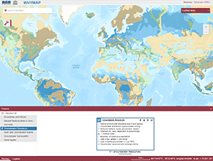
The World-wide Hydrogeological Mapping and Assessment Programme (WHYMAP) provides data and information about the earth´s major groundwater resources. The WHYMAP Viewer provides access to the topics “Groundwater Resources of the World", "World-wide River and Groundwater Basins", "World-wide Groundwater Vulnerability", "Karst Aquifers of the World", and to the “World-wide Hydrogeological Map Information System (WHYMIS)”. Das World-wide Hydrogeological Mapping and Assessment Programme (WHYMAP) stellt Daten und Informationen über die wesentlichen Grundwasservorkommen der Erde zur Verfügung. Der WHYMAP-Viewer bietet Zugang zu den Themen "Grundwasserressourcen der Welt", "Weltweite Fluss- und Grundwassereinzugsgebiete", "Weltweite Grundwassergefährdung", "Karst-Aquifere der Welt" und "Weltweites Nachweissystem für hydrogeologische Karten (WHYMIS)".
Nutzung
| Nutzungsbedingungen |
Allgemeine Geschäftsbedingungen, s.: https://www.bgr.bund.de/AGB - General terms and conditions, s. https://www.bgr.bund.de/AGB_en; Die bereitgestellten Informationen sind bei Weiterverwendung wie folgt zu zitieren: Datenquelle: WHYMAP, (C) BGR Hannover & UNESCO Paris |
|---|
| Zugriffsbeschränkungen |
no limitations to public access |
|---|


